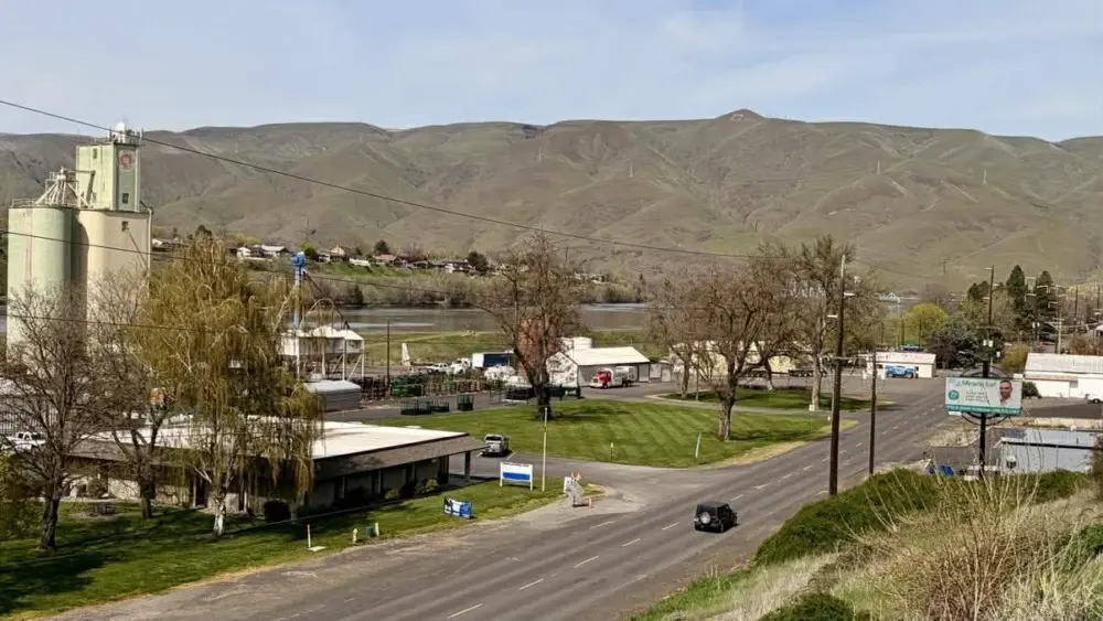
LEWISTON, ID – The National Weather Service has issued multiple weather alerts the Inland Northwest, warning of strong winds, potential flooding and heavy mountain snow through midweek.
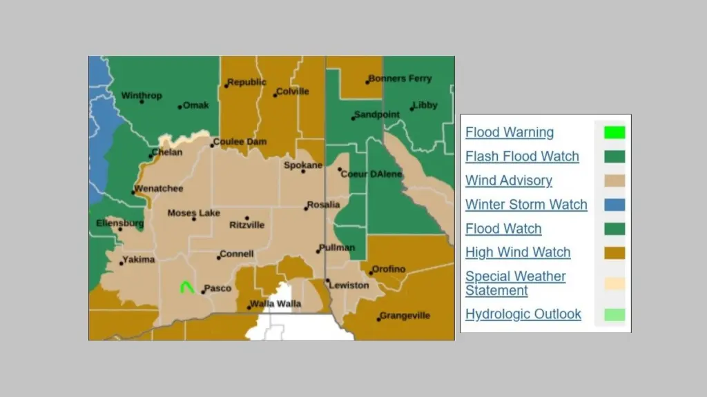
Forecasters say an active weather pattern will bring increasing west to southwest winds beginning Monday. A Wind Advisory is in effect from 1 p.m. Monday to 6 a.m. Tuesday for much of eastern Washington and north Idaho, including the Lewiston area, Palouse, Spokane region, Upper Columbia Basin and surrounding communities. Winds of 20 to 30 mph with gusts up to 45 mph are expected.
A High Wind Watch has also been issued for much of the same area for Tuesday evening through Wednesday afternoon. During that period, southwest winds of 25 to 45 mph are possible, with gusts up to 60 mph and isolated gusts near 70 mph in higher terrain. Officials warn that saturated soils from recent rainfall could increase the risk of falling trees and power outages.
A Flood Watch has been issued for portions of north Idaho, including Benewah, Bonner, Kootenai, Latah and Shoshone counties, from Tuesday afternoon through Wednesday afternoon. Excessive rainfall could lead to flooding of rivers, creeks and low-lying areas, with an increased risk of rock and mudslides in steep terrain and near burn scars.
Elsewhere in the Inland Northwest, a Flood Warning remains in effect for Kittitas County in south-central Washington through early Tuesday morning. River flooding is ongoing, with some low-water crossings inundated.
In western Montana, a Flash Flood Watch is in effect through Wednesday afternoon for the Libby area due to the potential failure of the Lower Flower Creek Diversion Structure. Officials are working to reduce pressure on the structure by releasing water.
In the Cascades, a Winter Storm Watch has been issued for western Chelan County from Tuesday evening through Wednesday evening. Heavy snow totaling 1 to 2 feet is possible at higher elevations, including Stevens Pass, with winds gusting up to 70 mph.
The National Weather Service urges residents to monitor forecasts, secure loose objects, and use caution when traveling, especially in high-profile vehicles or areas prone to flooding.