SEATTLE, WA – Mother Nature appears set to give an unwanted gift to Puget Sound residents this holiday season, in the form of more inclement weather the day before Christmas.
The U.S. National Weather Service has issued a High Wind Watch for portions of northwest and west central Washington state from Wednesday morning through Wednesday evening, Christmas Eve.
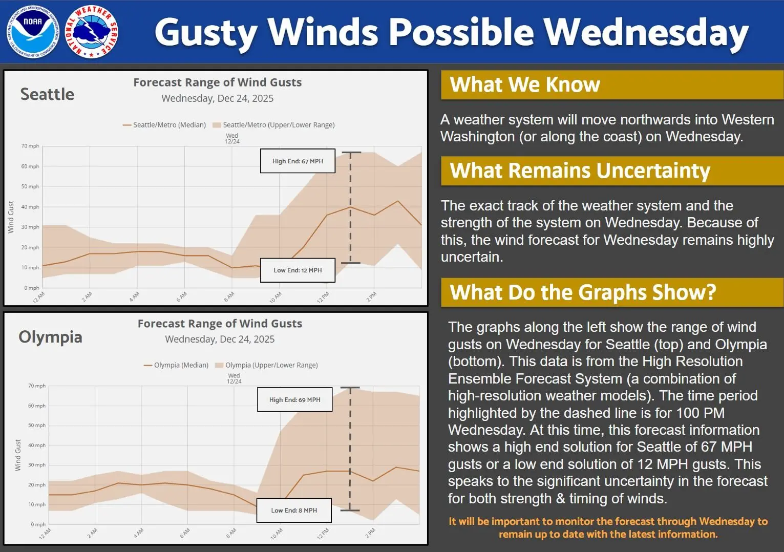
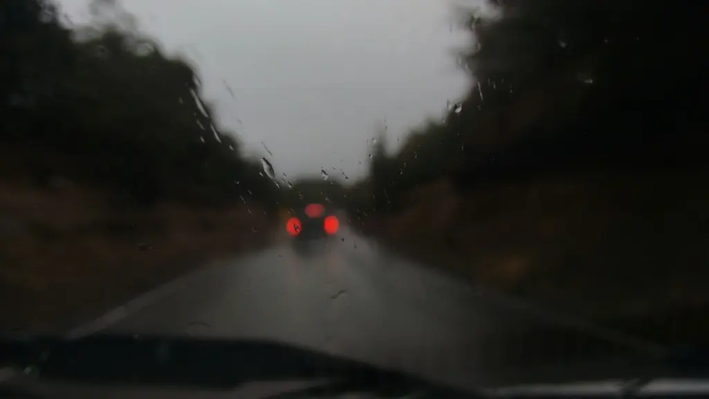
The weather service predicts east to northwest winds of 10 to 20 mph, with gusts of up to 30 mph, which will shift to southerly afternoon winds of up to 35 mph and gusts of up to 65 mph.
“Damaging winds could blow down trees and power lines,” according to the USNWS. “Widespread power outages are possible. Travel could be difficult, especially for high-profile vehicles.”
A high-profile vehicle is any large vehicle, such as RVs, box trucks, semi-trucks or SUVs, that has a tall body, large surface area and high center of gravity, making it vulnerable to strong winds and potentially causing instability or rollovers, leading to travel restrictions in severe weather.
The weather service recommends monitoring the latest forecasts and warnings for updates, as well as fastening or sheltering loose objects in a safe location before the onset of winds.
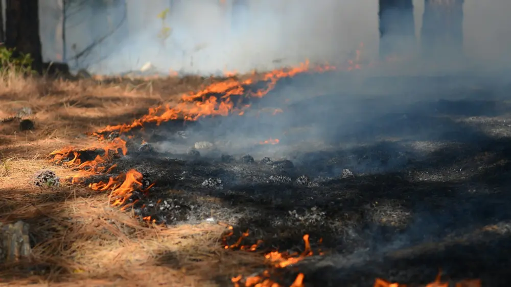
Wednesday’s predicted windstorm is the latest in a series of harsh weather events to hit Western Washington residents, who experienced severe, back-to-back atmospheric rivers earlier this month. Those storms caused widespread catastrophic flooding, landslides and power outages, with some areas getting more than 10 inches of rain in 72 hours, pushing rivers like the Skagit and Snohomish to flood stage and leading to major road closures, including Interstate 90.