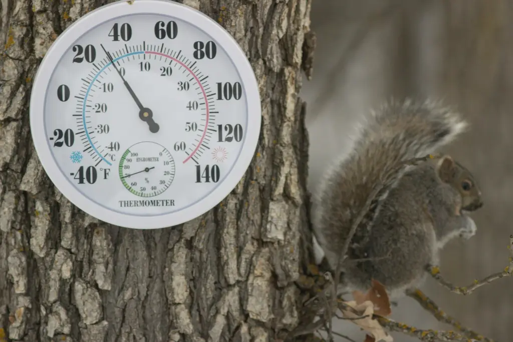
PULLMAN, WA – While the polar vortex blasts much of the country with Arctic air and record snowfall, the Pacific Northwest has escaped the worst of it — and it looks like it will continue to do so, according to Nathan Oates, a meteorologist at AgWeatherNet, Washington State University’s statewide agricultural weather network.
The polar vortex isn’t a storm that suddenly appears and disappears, Oates said. It’s a large pool of cold, low-pressure air that stays parked over the Arctic year-round but typically expands in the winter. Most of the time, it stays there. But when it gets disrupted and the jet stream bends the wrong way, channels of that cold air can spill south into the United States, bringing unusually cold temperatures and heavy snow. That’s what’s been happening across much of the Midwest, South, and Northeast, while Washington state has mostly been spared.
“We barely dodged it,” Oates said, noting that the system moved through the region before it fully intensified and began pulling the coldest air south.
Still, that doesn’t mean the region’s winter has been trouble-free. If anything, the bigger story locally has been how mild it’s been. Oates said a series of high-pressure systems have tended to park over the Pacific Northwest, keeping weather patterns relatively stagnant and allowing warmer air from the south to flow in more often than usual. The result has been fewer sharp cold snaps and more precipitation falling as rain instead of snow, one reason mountain snowpack has lagged behind normal in many areas. Low mountain snowpack can cause problems for irrigators and other water users later in the year.
A series of high-pressure systems have tended to park over the Pacific Northwest, keeping weather patterns relatively stagnant and allowing warmer air from the south to flow in more often than usual.
“We’ve had a lot of cloudy days and not a lot of big cold pushes,” Oates said. “There’s been plenty of warm air around, and that changes how storms behave when they come through.”
Looking ahead, Oates said he’ll be watching how the jet stream reorganizes as the broader weather pattern evens out. When a system dips as deeply as this one has elsewhere in the country, it can trigger a kind of atmospheric “backfilling,” sending new systems through the Northwest. For now, he expects more rain and mild temperatures in the near term, but said it’s too early to rule out sharper changes later in the season.
Tracking those shifts is a core part of Oates’ job at AgWeatherNet. On Mondays, he produces the network’s forecast. The rest of the week, he’s often on the road, sometimes for hours at a time, maintaining and troubleshooting weather stations across the state.
AgWeatherNet provides high-quality, location-specific weather data to farmers, schools, agencies, and other users who need more precision than broad regional forecasts can offer. In a state where weather can change dramatically between a valley, a mountain slope, and a rain shadow, that detail can matter for everything from irrigation decisions to school operations.
Oates said the network is also expanding its tools, including new “renewal stations” designed to improve frost forecasting and additional Mesonet stations that measure air quality during smoke and wildfire events. The goal, he said, is simple: make already good data even more precise, so people can make better decisions, whether the winter is brutally cold or unusually warm.