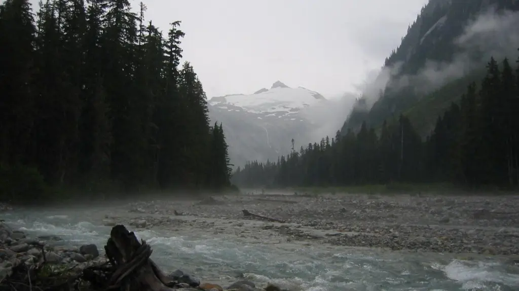
WASHINGTON – Two flood disasters, just four years apart, each underscored the threat posed by the moody and volatile Nooksack River.
The crises in 2021 and December 2025 have spurred increasingly urgent calls to “dredge the Nooksack,” or take gravel out of the river, a measure experts say would likely be ineffective.
Community advocates aren’t wrong, though, in pointing to sediment build-up in the river channel as a driver of flooding.
To deal with that issue, Whatcom County staff and others working on plans to mitigate flood risk are focusing on another strategy: widening the river. The idea is to set back the levees and armored banks that have artificially constricted the Nooksack for decades and restore the river’s ability to move sediment out of its own channel.
It’s set to be an ambitious and costly project. Work on the river likely wouldn’t start for several years, at the earliest. Completing the project could take at least a decade, geomorphology consultant Andrew Nelson said in a previous interview.
Right now, the county and its partners — including tribes, cities, and state and federal agencies — are in the design phase. The idea has been in the works for the past several years as part of a larger process to put together a comprehensive floodplain management plan, which includes a number of smaller projects to mitigate flooding impacts.
If it continues moving forward, the effort known as “Widen the Corridor” will be a test of Whatcom County’s ability to pull off a river management project many times the size of those it carries out now. It would require tens of millions in funding and a long permitting process.
Meanwhile, public frustration about sediment in the river remains high.
Paula Harris, flood planning and mitigation manager for the county, acknowledged in an interview that the county’s communication with the public about flood mitigation efforts has been lacking in the past. She noted the county is working to improve.
“We’re getting a lot of political attention after this flood,” Harris said at a flood advisory committee meeting Feb. 12. “And we’re really trying to use this as an opportunity to really pull together as a community … and really try and use that local support to get the attention of our legislators.”
People with comments or questions about Widen the Corridor can reach out to their city or county elected officials, or fill out this online form.
Lots of sediment, nowhere to go
At nearly 11,000 feet, the volcanic Mount Baker looms over the Nooksack River basin. Its steep sides and great height lend themselves to erosion, said Roland Middleton, special programs manager for Whatcom County Public Works.
The Nooksack River has coursed through the valley below for only about 12,000 years — “a blink of an eye in geologic time,” he wrote in an email. By contrast, the Columbia River is likely around 12 million years old.
The young age of the river system means hillsides are not yet eroded down. Because of that, and a high amount of geologic activity in the region, Whatcom County stands out as having one of the highest rates of landslides in the Cascade Range, Middleton said.
Meanwhile, receding glaciers are leaving more rock deposits exposed, Middleton said. And the unusually short and steep gradient of the river means some traditional models for river systems don’t work as well in the Nooksack basin.
“Virtually every stream carries sediment that comes into the Nooksack,” he added, “and so we don’t catch a break anywhere.”
No river carries more sediment to Puget Sound per square mile of drainage area than the Nooksack, Harris told advisory committee members Feb. 12.
As water rushes down toward Bellingham Bay, the river’s slope levels off significantly. That means it can carry less sediment, and the river stores what it cannot carry, Harris explained.
Left to its own devices, the Nooksack would push that sediment out of the channel onto its inner banks, she said. Over time, the river would wander away from its original course, eventually washing those deposits downstream.
But the river hasn’t been allowed to move naturally. For decades, bridges, levees and armored banks, called revetments, have limited the river’s movement.
“When we lock the river in place, then basically that lateral migration can’t clear out the gravel,” Harris said. In the coming years, impacts of climate change — less snow, more forest fires — will only increase the amounts of sediment in the system.
The sediment build-up has lowered the river’s capacity. “Practically speaking,” Harris said, it changes “what flow it takes to cause flow over Main Street.”
Widening the channel
The Everson Corridor, a river segment from the Everson Bridge to around the Twin View Levee, is the biggest focus area for this project.
It’s in that section where, during floods, the river splits in two, with some water flowing north toward Sumas and some going south toward Deming. Upstream of that corridor, the river is fairly free, while near Everson, the river is suddenly confined, Harris said at the meeting this month.
“There’s sediment deposition all throughout the river, but that’s where it affects the most people,” Harris said in an interview.
The county’s large-scale plan would widen that corridor by moving the infrastructure back, which would require coordinating with private landowners along the river. That would send more water downstream, which would then require more widening further along the river.
Moving the Twin View Levee back would require relocating a pipeline that crosses the river at that point, which should take about five years once a feasibility study is done, Harris said at the advisory meeting.
The plan would also involve sediment removal in the form of digging new channels for the river.
“We’re not talking about scalping or dredging,” Harris said. “We’re talking about creating deep channels that could convey a lot of water and provide fish habitat.”
The exact pattern of widening and channel creation is yet to be determined, Harris said in an interview.
County modeling shows taking action on this plan would drop the surface of the water at Everson by 2–3 feet.
The concept shares some similarities with a King County project completed in 2023. The Fall City Floodplain Restoration Project set back a levee and a revetment along the Snoqualmie River, as well as creating and restoring channels that act as habitat for Chinook salmon.
In December, areas around the project saw a decrease in flooding and less erosion, said Fauna Nopp, project manager, in an interview. “For the most part, things performed really, really well.”
Looking ahead
Acquiring permits for a project of this scale is a lengthy, probably yearslong process. The county must coordinate with nine different agencies, Harris said at the meeting Feb 12.
“Permitting is going to be the big hurdle,” she later said in an interview. “We’re going to push this as hard as we can, but I feel like we’re just going in a little bit of uncharted territory,” she added.
Then, there’s the cost. Whatcom County spends about $6 million on a typical large river and flood project, Harris said at the meeting. Though the county doesn’t yet have a projection for the cost of Widen the Corridor, Harris wrote in an email she suspects “it will be in the tens of millions.”
A rough county estimate puts the total cost of projects in an early draft of the floodplain management plan, which includes Widen the Corridor, at $182 million in the next five years and $474 million in the long term.
“You have to ask yourself, where is all this money going to come from?” said Ron Bronsema, vice chair of the advisory committee, at the meeting.
So far, Whatcom County has requested $15 million from the state for early-action items from the plan, including design costs for Widen the Corridor.
In supplemental capital budgets proposed this week, the state Senate allocated $13 million for “Nooksack Integrated Floodplain” while the state House provided $9 million in grant money for local governments in Whatcom County for purposes including “repair, rehabilitation, and construction of flood mitigation and disaster response and resiliency projects.”
Whatcom County is not waiting for the floodplain plan to be complete to start implementing its projects, and some are already underway, Harris said.
At the advisory meeting, Harris gave a tentative time frame of about three years for work on channels around the Everson Corridor to begin.
Bronsema countered that he’d asked another county flood engineer the same question, “and I got 10 years plus, unless there’s something catastrophic.”
Everson Mayor John Perry, another advisory committee member, nevertheless sees permitting this project as within reach.
Sometimes projects like this are blocked “because people immediately go to sediment management for flood solutions, and they haven’t done any of their homework,” he said at the meeting. “And we’ve done all the homework.”
But, Perry noted project management would be an issue as Whatcom “doesn’t have the capacity or the staffing to do a project of this scope.”
He suggested the county hire a project management team with money it hopes to receive from the state.
Despite the potential challenges, Harris won’t let herself be daunted.
“We had never conceived of projects of 6 million when I started at this job,” she said in an interview. “And so if you don’t dream big, you won’t do big, right?”
Sophia Gates covers rural Whatcom and Skagit counties. She is a Washington State Murrow Fellow whose work is underwritten by taxpayers and available outside CDN’s paywall. Reach her at sophiagates@cascadiadaily.com; 360-922-3090 ext. 131.
Washington State Standard is part of States Newsroom, a nonprofit news network supported by grants and a coalition of donors as a 501c(3) public charity. Washington State Standard maintains editorial independence. Contact Editor Bill Lucia for questions: info@washingtonstatestandard.com.