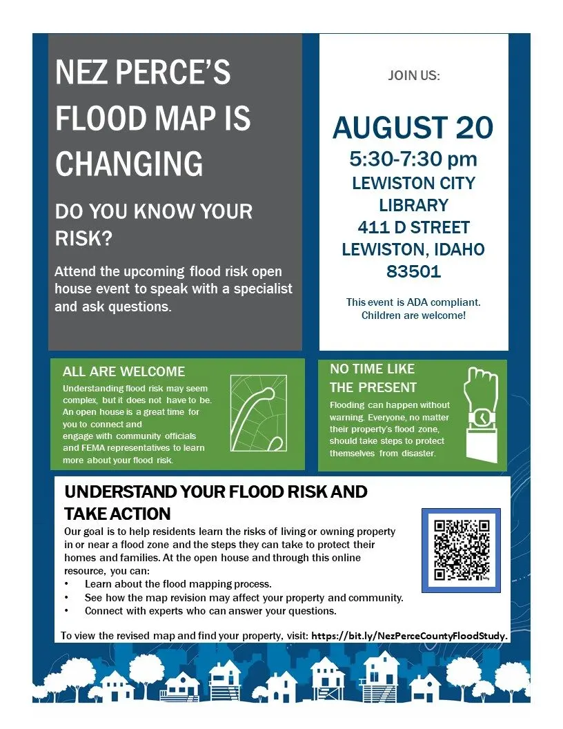
LEWISTON, ID – Residents of Nez Perce County are invited to attend a public open house on Wednesday, August 20, to learn about important changes to the county’s flood maps. The event will be held from 5:30 to 7:30 p.m. at the Lewiston City Library, located at 411 D Street.
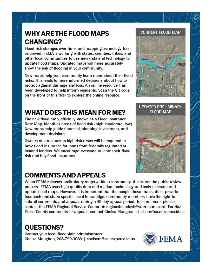
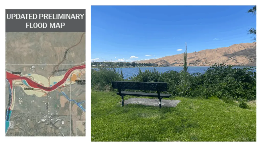
The Federal Emergency Management Agency (FEMA), in coordination with local officials, is updating Nez Perce County’s Flood Insurance Rate Maps (FIRMs) to reflect new data and improved technology. These maps determine areas of high, moderate, or low flood risk and help inform decisions about flood insurance, planning, and development.
According to FEMA, flood risk can change over time due to factors like development, weather patterns, and updated mapping tools. The revised maps aim to provide a more accurate picture of flood risks for communities across the region.
At the open house, residents will have the opportunity to:
- Speak with FEMA specialists and local officials
- Learn about the flood mapping process
- Understand how the changes may impact their property
- Ask questions about flood insurance requirements and options
Owners of structures located in high-risk flood zones may be required to purchase flood insurance, particularly if they have a mortgage through a federally regulated lender. FEMA encourages all residents to understand their risk and consider flood insurance, regardless of their flood zone classification.
This event is ADA compliant and open to the public. Children are welcome. Residents can also access an online resource for more information and to view the updated maps by visiting: https://bit.ly/NezPerceCountyFloodStudy.
For local questions or appeals, contact Chelse Maughan at chelsem@co.nezperce.id.us or 208-799-3089.